Warning: Trying to access array offset on false in /home/oldmaps/www/sites/wp-content/plugins/kpicasa-gallery/kpicasa_gallery.php on line 74

Warning: Trying to access array offset on false in /home/oldmaps/www/sites/wp-content/plugins/kpicasa-gallery/kpicasa_gallery.php on line 80

Warning: Trying to access array offset on false in /home/oldmaps/www/sites/wp-content/plugins/kpicasa-gallery/kpicasa_gallery.php on line 86

Warning: Trying to access array offset on false in /home/oldmaps/www/sites/wp-content/plugins/kpicasa-gallery/kpicasa_gallery.php on line 91

Warning: Trying to access array offset on false in /home/oldmaps/www/sites/wp-content/plugins/kpicasa-gallery/kpicasa_gallery.php on line 97

Warning: Undefined array key "thumbsrc" in /home/oldmaps/www/sites/wp-content/themes/aesthete/_thumbnailing.php on line 18
Whitelaw Map 1796
Warning: Trying to access array offset on false in /home/oldmaps/www/sites/wp-content/plugins/kpicasa-gallery/kpicasa_gallery.php on line 114

Warning: Trying to access array offset on false in /home/oldmaps/www/sites/wp-content/plugins/kpicasa-gallery/kpicasa_gallery.php on line 123

Warning: Trying to access array offset on false in /home/oldmaps/www/sites/wp-content/plugins/kpicasa-gallery/kpicasa_gallery.php on line 131

Whitelaw Map 1796

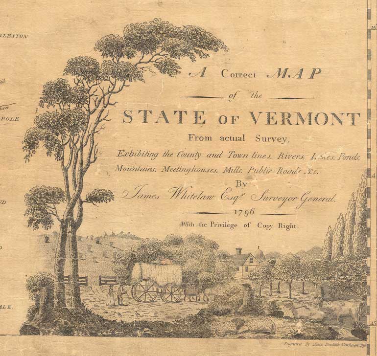
A few short years after Vermont joined the United States James Whitelaw issued “A Correct Map of the State of Vermont”. This large wall map shows every town in the state as well as the main roads in most towns.

Whitelaw, a skilled surveyor from Ryegate, was Vermont’s Surveyor-General at the time. Prior to publishing this map he had conducted numerous surveys at the town and county level, as he noted in a statement engraved upon the map.
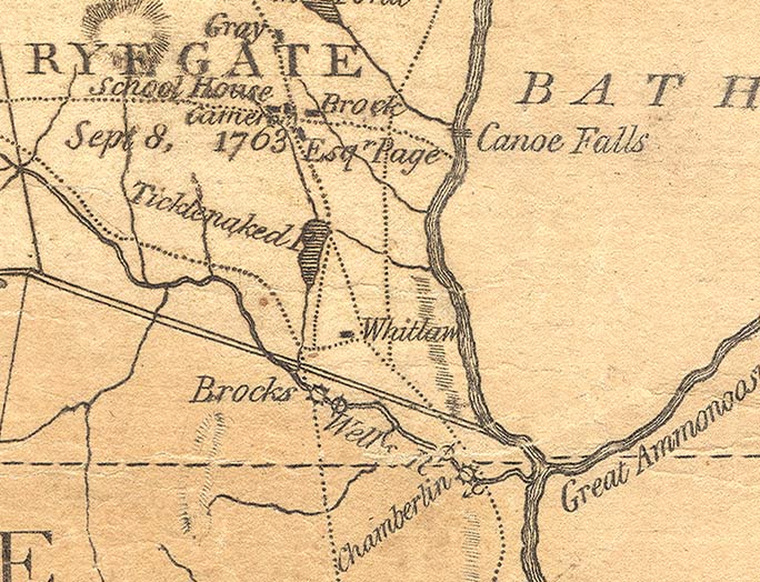
Here is an excerpt form the map – the Ryegate area. Note that surveyor Whitelaw’s house is marked on the map – one of few private houses shown.


The next excerpt shows the Rutland- Killington area, including the long forgotten town of Phildelphia.
